|
These nautical charts are exact digital reproductions of their paper equivalents with the same coloring, depth soundings etc. They are all the large and small scale charts that you need to cruise the south Florida including the Florida Keys, the Bahamas, the Turks and Caicos islands, the north coast of Hispaniola, all of Puerto Rico and the US Virgin Islands. They are raster charts in BSB/KAP file format that can be used with many navigation software programs. A free chart plotting navigation program is included on the disk that will 'quilt' the charts together, plot a course, print charts and more. For less than the cost of one paper chart, you get more than 100 charts and plans on the CD. This boat navigation software CD is for Windows based PCs. For the latest information on these charts you will need copies of the BOATING GUIDE for the US southeast coast (CP 4), BOATING GUIDE for the US Virgin Islands and Puerto Rico (CP 5) and BOATING GUIDE to the Bahamas, the Greater and Lesser Antilles (Pub 147), all on CDs which have current information on aids to navigation, light lists etc.
|
Satisfaction Guaranteed! Ten day no questions asked return policy.
Shipping is next business day by USPS First Class Mail following receipt of funds.
For more information click here. Please email me with any questions.
|
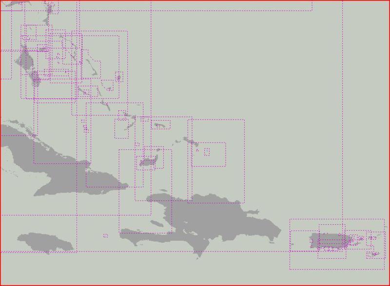


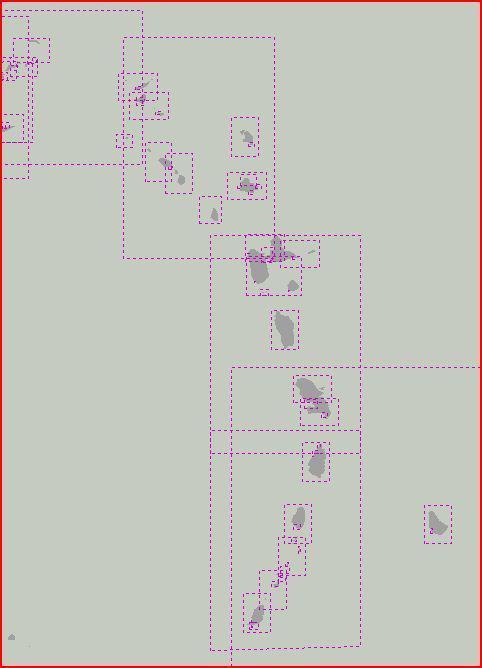 Nautical charts of the eastern caribbean islands on cd
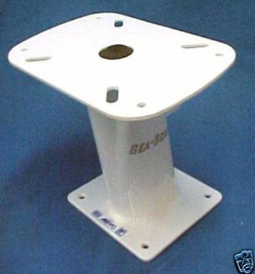 Marine radar mount 10" fits raymarine garmin furuno &
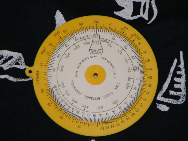 Time speed distance t-s-d t/s/d marine navigation computer davis instruments
 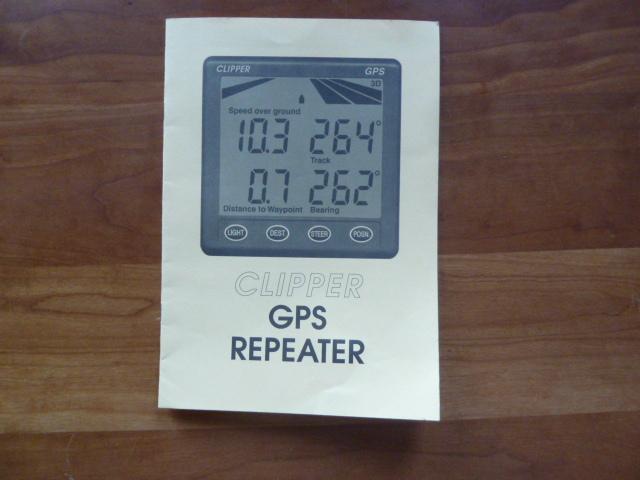 Used - nasa clipper gps repeater
  Teleflex tachometer
 Marine navigation parallel ruler map/chart tool/instrument by west marine