7 Inch Color Gps Chartplotter W/ 2200+ Us Charts And Street Mapping Software on 2040-parts.com
Rock Hall, Maryland, United States
|
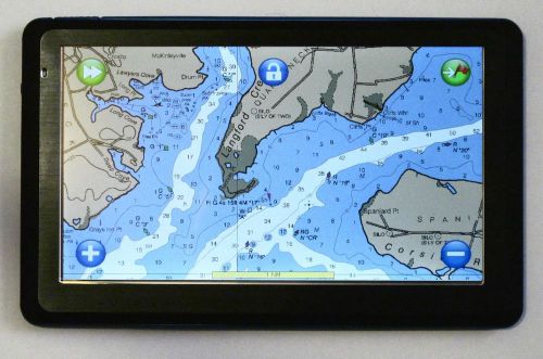
This is one awesome hand held chart plotter. Daylight viewable color touch screen lets you pan, zoom, create routes, marks and more right on the screen with the stylus or your finger. Screen updates are extremely quick. Lock on the gps, and your position is displayed on a moving map. On board I have a desktop pc and a tablet pc set up for navigation. On my last trip down the ICW to the Bahamas I hardly used either of these. Instead my wife and I both had a gps enabled pocket pc. Her’s for steering the boat (keeping in the channel or following routes) and mine for planning (things like figuring time to the next bridge, distances, bearings, etc). This worked out great. Based on the Windows CE 6 operating system this is a very versatile device. Items included in this auction are:
Some
of the MediaTek features:
Pocket Navigator Software
Features
Memory-Map's
Pocket Navigator provides almost all the features of the desktop PC product on
your PDA. View maps &
charts, plan your trip, create routes just by touching the screen. Drag the map
with the stylus or your finger to scroll. Zoom using the on screen
buttons. The map is responsive and updates very quickly. Plan routes on
the desktop or Pocket PC and transfer to each other. Record track
log, showing where you went, what time you were there, and your speed at each
point on the track. Great for getting back home when the fog sets in. User
programmable velocity vector: Provides a quick visual check of where you’ll be
in a given amount of time. Enables you to quickly assess whether your current
course could lead to a potential hazard. Chart / Map
selection with Keyword search. Auto Chart
Select: Automatically selects the best chart for a given GPS position. Lock on to GPS:
Automatically selects the most appropriate chart, then as you move, keeps your
current position in the center of the screen whilst the map scrolls. Provides a
constant view of your current position and surrounding area. Distance from
current position: Simply clicking on the map will show the distance and bearing
from your current position. Enables fast cross checking of your position with a
compass using bearings from known landmarks. Night Colors: A
menu option switches the display to lower intensity night colors to preserve
night vision in low light surroundings. Anchor and
Proximity Alarm: Sound a warning beep or play a linked file when you are too
close to or too far away from a point. Satellite
Status: Shows satellite signal strength, fix type and HDOP. GPS Position:
Display as much or as little information as you like (speed, Lat & Long,
time, course etc…). Lat/Long and
UTM Grid: Supports several grid formats. Steering vector: Visually shows which direction to steer to a mark.
There
are two modes of operation providing access to many advanced features. Planning
Mode has more buttons and menus and may require the use of a stylus to complete
some tasks. Navigation Mode provides just what you need while on the move. One
of the main methods of control is the TAP-AND-HOLD technique. Tap-and-Hold is
equivalent to a right mouse dick on a PC. Simply Tap on an object like a map,
mark, track or position symbol, hold for a moment without moving, then release.
A menu will appear that is specifically related to the object you targeted.
|


GPS & Chartplotters for Sale
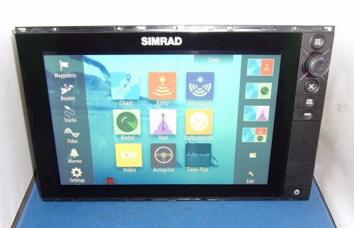 Simrad nss12 evo2 chart plotter / multifunction display nss12 evo 2(US $1,849.00)
 Lowrance hds 12 gen 3(US $2,250.00)
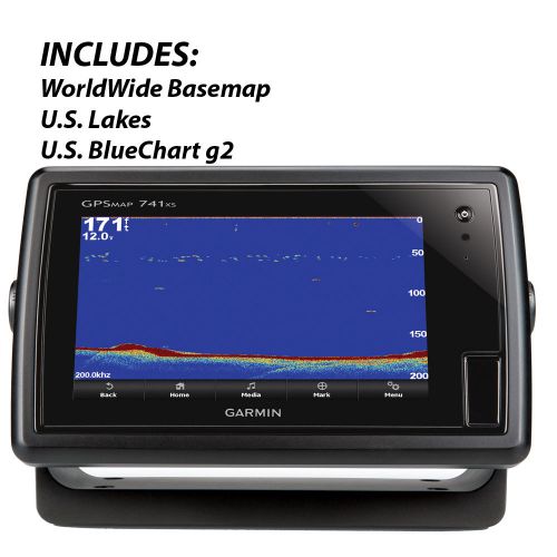 Garmin gpsmap 741xs gps chartplotter/sounder combo -010-01102-01(US $914.60)
 Furuno navnet rdp-139 cmap edition(US $599.00)
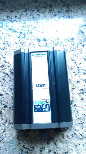 Furuno bbwx1 sirius marine weather
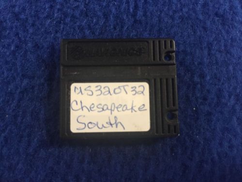 Navionics classic navchart us320 chesapeake south chart card northstar furuno(US $24.99)
Beetle Drive Picks Up Speed
Tue, 11 Feb 2014DO you feel that your Beetle is a little slow? Volkswagen might have the answer, although you’ll need to take some brave pills if you want to take advantage of its latest offering. As part of the German manufacturer’s plans to enter the motorsport scene in the U.S.
Ford B-Max: Official
Mon, 28 Feb 2011Ford B-Max launches at Geneva It’s been a while coming – the Ford B-Max – but it’s finally arrived today in Geneva. Ford’s replacement for the now venerable Fusion is the B-Max, a car which, had it not been for Ford’s financial woes, would have been here last year. Still, better late than never – and it looks a big jump on from the Fusion.
Bentley Continental GTC Speed (2013) first pictures
Wed, 02 Jan 2013According to Bentley, the new Continental GTC Speed is the fastest four-seat convertible in the world. The 202mph cabriolet uses the 616bhp powertrain from its Continenal GT Speed Coupe sibling, and we'll see it unveiled at the 2013 Detroit motor show. Just how fast is the new 2013 Bentley GTC Speed?